|
 Tuesday Tuesday
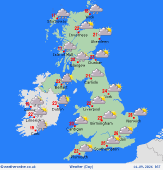
A cold front sweeps southeastward through England and Wales in the morning, bringing a spell of rain, briefly heavy, followed by brighter skies and sunny breaks. Blustery showery rain will affect northern and western regions, most frequent in western Scotland. Through the afternoon the band of rain affecting central and southeast England will become patchy though some heavier burts are possible across East Anglia. Showers still to affect northern and western coasts and hills, and more showers, some heavy, to affect Scotland more widely. Otherwise, dry with sunny spells. Highs at 16 or 17C for many, central and east England nearer 20C, to 23C in the southeast.
 Tuesday Night Tuesday Night
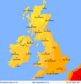
A breezy night with some showers about, these mainly affecting northern and western coasts and hills, otherwise dry with clear spells. Lows dropping back to a chilly 7 to 11C, milder across the southeast.
 Wednesday Wednesday
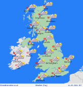
A ridge of high pressure briefly builds on Wednesday. A cool and breezy start but plenty of sunny spells about as well as showers that will affect mostly northern and western coasts and hills, though some will drift further inland on that brisk wind. Winds will ease yet the cloud will build for many in the afternoon with rain reaching western Scotland and the far northwest of Ireland by late afternoon. Feeling fresher, highs at 14 to 19C.
 Thursday Thursday
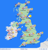
Low pressure to the north pushes a band of patchy rain southeast through Wales and England in the morning. Becoming windy in Ireland and Scotland with showers streaming in from the west, spreading into northwest England and Wales with time. Central and south England will brighten up, but also feel a fresh wind. Highs at 14 to 20C.
|


