Weather Warnings Archive: Sunday 22 Sep 2024 10:03 BST - UK


00:00-06:00

06:00-12:00

12:00-18:00

18:00-24:00


Severe Weather Warnings: Rain
issued by the Metoffice at
09:03, 22.09.2024
valid from
00:00, 23.09.2024
until
23:59, 23.09.2024
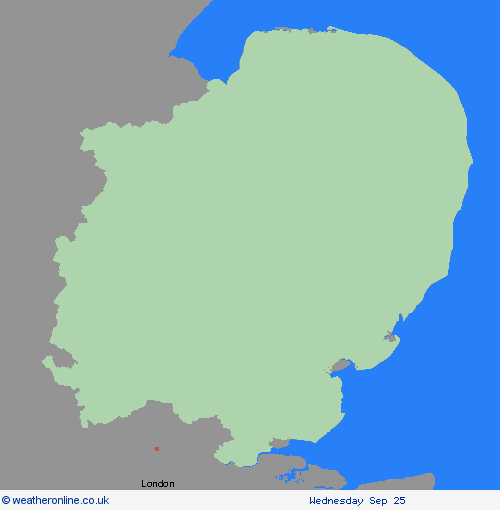
Region: East of England
Areas of of heavy rain are expected to affect many parts of England and Wales during Monday. There is still some uncertainty regarding which areas will be affected by the heaviest rain, but at this stage parts of the Midlands, northeast England and east Wales look most likely to see the greatest accumulations. However, anywhere within the warning area could have impactful rainfall through the course of Monday. There is potential that 30-50 mm could develop in any part of the warning area, much of which could fall in six hours or less. Some locations could see 80-100 mm over the course of 12 to 24 hours. What should I do? Check if your property could be at risk of flooding. If so, consider preparing a flood plan and an emergency flood kit. Give yourself the best chance of avoiding delays by checking road conditions if driving, or bus and train timetables, amending your travel plans if necessary. People cope better with power cuts when they have prepared for them in advance. It’s easy to do; consider gathering torches and batteries, a mobile phone power pack and other essential items. Be prepared for weather warnings to change quickly: when a weather warning is issued, the Met Office recommends staying up to date with the weather forecast in your area.
Chief ForecasterAreas of heavy rain may result in some disruption on Monday.
The public is advised to take extra care, further information and advice can be found here: http://www.metoffice.gov.uk/weather/uk/links.html
Severe Weather Warnings: Rain
issued by the Metoffice at
09:03, 22.09.2024
valid from
05:00, 23.09.2024
until
21:00, 23.09.2024
Region: East of England
An area of heavy rain is expected to develop across central and southern England during the early of hours of Monday, edging north and west and then becoming slow-moving somewhere across the warning area for several hours. It will then weaken and move away eastwards later Monday evening and overnight. Not all counties within the warning area will be equally affected, but it seems likely that some areas will see 60-80 mm and a few places may receive 100-120mm or more. This is likely to result in travel disruption and some flooding. Lightning may be an additional hazard in places. What should I do? Keep yourself and others safe; prepare to avoid travelling by road during potentially dangerous road conditions. If you must travel, ensure you watch for possible danger and drive cautiously. It is not safe to drive, walk or swim through floodwater, avoid it where possible and if you are affected by fast flowing or deep-water call 999, and wait for help. Stay up to date with the weather forecast for your area and follow advice from emergency services and local authorities
Chief ForecasterHeavy rain is expected to produce some flooding and travel disruption.
The public is advised to take extra care, further information and advice can be found here: http://www.metoffice.gov.uk/weather/uk/links.html


22.09.2024