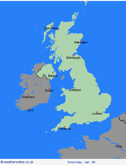
Weather Warnings Archive: Wednesday 17 Jan 2024 18:23 GMT - UK


00:00-06:00

06:00-12:00

12:00-18:00

18:00-24:00


Severe Weather Warnings: Snow
issued by the Metoffice at
18:23, 17.01.2024
valid from
00:00, 19.01.2024
until
23:59, 19.01.2024
Region: Highland & Eilean Siar
Snow showers continuing through Friday with accumulations of 5-10 cm quite widely, but an additional 20 cm are possible over higher ground. Drifting of fresh and existing snow cover will add to the impacts. Snow will fall at most levels at first, but turning to rain at low levels with snow mainly above 400m by the end of the day. What should I do? Snowy, wintry weather can cause delays and make driving conditions dangerous. Keep yourself and others safe by planning your route, giving yourself extra time for your journey. Check for road closures or delays to public transport and amend plans if necessary. If driving, make sure you have some essentials in your car in the event of any delays (e.g., warm clothing, food, water, a blanket, a torch, ice scraper/de icer, a warning triangle, high visibility vest and an in-car phone charger). Be prepared for weather warnings to change quickly: when a weather warning is issued, the Met Office recommends staying up to date with the weather forecast in your area.
Chief ForecasterFurther snow showers with a risk of drifting snow will bring further disruption.
The public is advised to take extra care, further information and advice can be found here: http://www.metoffice.gov.uk/weather/uk/links.html
Severe Weather Warnings: Snow
issued by the Metoffice at
18:23, 17.01.2024
valid from
00:00, 19.01.2024
until
23:59, 19.01.2024
Region: Strathclyde
Snow showers continuing through Friday with accumulations of 5-10 cm quite widely, but an additional 20 cm are possible over higher ground. Drifting of fresh and existing snow cover will add to the impacts. Snow will fall at most levels at first, but turning to rain at low levels with snow mainly above 400m by the end of the day. What should I do? Snowy, wintry weather can cause delays and make driving conditions dangerous. Keep yourself and others safe by planning your route, giving yourself extra time for your journey. Check for road closures or delays to public transport and amend plans if necessary. If driving, make sure you have some essentials in your car in the event of any delays (e.g., warm clothing, food, water, a blanket, a torch, ice scraper/de icer, a warning triangle, high visibility vest and an in-car phone charger). Be prepared for weather warnings to change quickly: when a weather warning is issued, the Met Office recommends staying up to date with the weather forecast in your area.
Chief ForecasterFurther snow showers with a risk of drifting snow will bring further disruption.
The public is advised to take extra care, further information and advice can be found here: http://www.metoffice.gov.uk/weather/uk/links.html
Severe Weather Warnings: Snow
issued by the Metoffice at
18:23, 17.01.2024
valid from
00:00, 19.01.2024
until
23:59, 19.01.2024
Region: Central, Tayside & Fife
Snow showers continuing through Friday with accumulations of 5-10 cm quite widely, but an additional 20 cm are possible over higher ground. Drifting of fresh and existing snow cover will add to the impacts. Snow will fall at most levels at first, but turning to rain at low levels with snow mainly above 400m by the end of the day. What should I do? Snowy, wintry weather can cause delays and make driving conditions dangerous. Keep yourself and others safe by planning your route, giving yourself extra time for your journey. Check for road closures or delays to public transport and amend plans if necessary. If driving, make sure you have some essentials in your car in the event of any delays (e.g., warm clothing, food, water, a blanket, a torch, ice scraper/de icer, a warning triangle, high visibility vest and an in-car phone charger). Be prepared for weather warnings to change quickly: when a weather warning is issued, the Met Office recommends staying up to date with the weather forecast in your area.
Chief ForecasterFurther snow showers with a risk of drifting snow will bring further disruption.
The public is advised to take extra care, further information and advice can be found here: http://www.metoffice.gov.uk/weather/uk/links.html
Severe Weather Warnings: Ice
issued by the Metoffice at
18:23, 17.01.2024
valid from
00:00, 19.01.2024
until
10:00, 19.01.2024
Region: Northern Ireland
Wintry showers should largely on Thursday will leave some surfaces damp into Friday. With skies clearing air and surface temperatures will fall below zero. Icy stretches are likely where surfaces remain damp, with a risk of black ice in places. What should I do? Keep yourself and your family safe when it is icy. Plan to leave the house at least five minutes earlier than normal. Not needing to rush, reduces your risk of accidents, slips, and falls. If you need to make a journey on foot, try to use pavements along main roads which are likely to be less slippery. Similarly, if cycling, try and stick to main roads which are more likely to have been treated. Give yourself the best chance of avoiding delays by checking road conditions if driving, or bus and train timetables, amending your travel plans if necessary. Be prepared for weather warnings to change: when a weather warning is issued, the Met Office recommends staying up to date with the weather forecast in your area.
Chief ForecasterIcy surfaces leading to some hazardous travel conditions
The public is advised to take extra care, further information and advice can be found here: http://www.metoffice.gov.uk/weather/uk/links.html


17.01.2024