Weather Warnings Archive: Friday 24 Jan 2025 21:00 GMT - UK


00:00-06:00

06:00-12:00

12:00-18:00
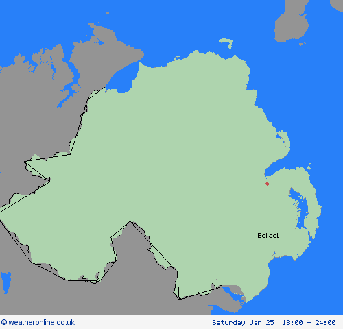
18:00-24:00


Severe Weather Warnings: Snow/Ice
issued by the Metoffice at
21:00, 24.01.2025
valid from
19:00, 24.01.2025
until
10:00, 25.01.2025
Region: Northern Ireland
Snow showers are expected to affect Northern Ireland during Friday afternoon and overnight into Saturday morning. Some small snow accumulations could develop in places, mainly on high ground in the west. However, ice is likely to be the main hazard, with icy stretches forming on untreated surfaces as temperatures fall this evening. What Should I Do? Snowy, wintry weather can cause delays and make driving conditions dangerous. Keep yourself and others safe by planning your route, giving yourself extra time for your journey. Check for road closures or delays to public transport and amend plans if necessary. If driving, make sure you have some essentials in your car in the event of any delays (e.g., warm clothing, food, water, a blanket, a torch, ice scraper/de icer, a warning triangle, high visibility vest and an in-car phone charger). Keep yourself and your family safe when it is icy. Plan to leave the house at least five minutes earlier than normal. Not needing to rush, reduces your risk of accidents, slips, and falls. If you need to make a journey on foot, try to use pavements along main roads which are likely to be less slippery. Similarly, if cycling, try and stick to main roads which are more likely to have been treated. Be prepared for weather warnings to change: when a weather warning is issued, the Met Office recommends staying up to date with the weather forecast in your area.
Chief ForecasterIcy stretches and some snow showers will result in some hazardous driving conditions.
The public is advised to take extra care, further information and advice can be found here: http://www.metoffice.gov.uk/weather/uk/links.html


24.01.2025