Weather Warnings Archive: Saturday 25 Jan 2025 21:23 GMT - UK


00:00-06:00

06:00-12:00

12:00-18:00

18:00-24:00


Severe Weather Warnings: Wind
issued by the Metoffice at
21:23, 25.01.2025
valid from
10:00, 26.01.2025
until
19:00, 26.01.2025
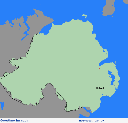
Region: Northern Ireland
Winds will increase through Sunday morning, with a spell of strong to gale force east to southeasterly winds likely. Many areas will see gusts 40-50 mph, with coasts and hills perhaps seeing occasional gusts to 60 mph. Given ongoing recovery work after Storm Éowyn, impacts may be more widespread than would ordinarily be expected with winds of this strength. Winds will slowly moderate from the south Sunday evening. What Should I Do? Some delays to road, rail, air and ferry transport are likely Delays for high-sided vehicles on exposed routes and bridges likely It’s likely that some coastal routes, sea fronts and coastal communities will be affected by spray and/or large waves Some short term loss of power and other services is possible Probably some bus and train services affected, with some journeys taking longer
Chief ForecasterStrong winds affecting Northern Ireland, potentially disrupting transport and infrastructure
The public is advised to take extra care, further information and advice can be found here: http://www.metoffice.gov.uk/weather/uk/links.html
Severe Weather Warnings: Snow/Ice
issued by the Metoffice at
21:23, 25.01.2025
valid from
18:00, 25.01.2025
until
10:00, 26.01.2025
Region: Northern Ireland
Showers, mostly of rain and sleet at lowest levels and near western coasts, but of snow above around 150m, are expected to affect the area during Saturday evening and overnight, before dying away during Sunday morning. Temporary slushy deposits are expected below 150m, with locally 2-5cm above this level with the chance of 5-10cm above 400m in the Scottish Highlands. Additionally icy patches will form on untreated surfaces. What Should I Do? Snowy, wintry weather can cause delays and make driving conditions dangerous. Keep yourself and others safe by planning your route, giving yourself extra time for your journey. Check for road closures or delays to public transport and amend plans if necessary. If driving, make sure you have some essentials in your car in the event of any delays (e.g., warm clothing, food, water, a blanket, a torch, ice scraper/de icer, a warning triangle, high visibility vest and an in-car phone charger). Be prepared for weather warnings to change quickly: when a weather warning is issued, the Met Office recommends staying up to date with the weather forecast in your area. If you need to make a journey on foot, try to use pavements along main roads which are likely to be less slippery. Similarly, if cycling, try and stick to main roads which are more likely to have been treated. Give yourself the best chance of avoiding delays by checking road conditions if driving, or bus and train timetables, amending your travel plans if necessary.
Chief ForecasterSnow showers and icy patches leading to some travel disruption for this evening and overnight
The public is advised to take extra care, further information and advice can be found here: http://www.metoffice.gov.uk/weather/uk/links.html


25.01.2025