Weather Warnings Archive: Monday 27 Jan 2025 07:58 GMT - UK


00:00-06:00

06:00-12:00

12:00-18:00

18:00-24:00


Severe Weather Warnings: Wind
issued by the Metoffice at
07:58, 27.01.2025
valid from
06:00, 27.01.2025
until
06:00, 28.01.2025
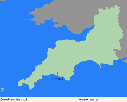
Region: South West England
A period of strong and gusty southwesterly winds is likely to affect southern parts of England and Wales through Monday and at first on Tuesday. Gusts to 60 or 70 mph are possible near the coast, with gusts of 50mph possible inland. Winds will gradually ease from the west on Tuesday morning. What Should I Do? Give yourself the best chance of avoiding delays by checking road conditions if driving, or bus and train timetables, amending your travel plans if necessary. People cope better with power cuts when they have prepared for them in advance. It’s easy to do; consider gathering torches and batteries, a mobile phone power pack and other essential items. If you are on the coast, stay safe during stormy weather by being aware of large waves. Even from the shore large breaking waves can sweep you off your feet and out to sea. Take care if walking near cliffs; know your route and keep dogs on a lead. In an emergency, call 999 and ask for the Coastguard. Be prepared for weather warnings to change quickly: when a weather warning is issued, the Met Office recommends staying up to date with the weather forecast in your area.
Chief ForecasterStrong and gusty winds may bring some disruption.
The public is advised to take extra care, further information and advice can be found here: http://www.metoffice.gov.uk/weather/uk/links.html
Severe Weather Warnings: Rain
issued by the Metoffice at
07:58, 27.01.2025
valid from
07:58, 27.01.2025
until
10:00, 28.01.2025
Region: South West England
The strong winds will drive in a succession of showers, some of them heavy, through Monday and Monday night, before slowly easing during Tuesday morning. With the ground so wet, these are likely to produce or sustain some flooding impacts, primarily affecting road travel. Additional hazards could include further lightning strikes, and hail making road conditions dangerous. What Should I Do? Give yourself the best chance of avoiding delays by checking road conditions if driving, or bus and train timetables, amending your travel plans if necessary. People cope better with power cuts when they have prepared for them in advance. It’s easy to do; consider gathering torches and batteries, a mobile phone power pack and other essential items. Be prepared for weather warnings to change quickly: the Met Office recommends staying up to date with the weather forecast in your area. Check if your property could be at risk of flooding. If so, consider preparing a flood plan and an emergency flood kit.
Chief ForecasterHeavy, blustery showers and possible thunderstorms, will lead to some flooding continuing to affect roads.
The public is advised to take extra care, further information and advice can be found here: http://www.metoffice.gov.uk/weather/uk/links.html

