Weather Warnings Archive: Thursday 23 Jan 2025 09:58 GMT - UK


00:00-06:00

06:00-12:00

12:00-18:00

18:00-24:00


Severe Weather Warnings: Wind
issued by the Metoffice at
09:58, 23.01.2025
valid from
10:00, 24.01.2025
until
17:00, 24.01.2025
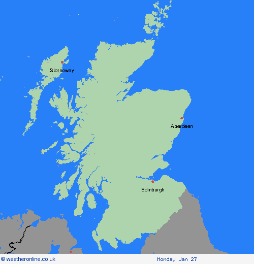
Region: Strathclyde
Southwesterly then westerly winds will rapidly increase from west to east Friday mid-morning onwards into the afternoon, with peak gusts of 80-90 mph fairly widely and perhaps up to 100 mph along exposed western coasts. This brings the risk of significant disruption to transport and power supplies as well as dangerous conditions outdoors. Winds will gradually ease through Friday evening. What Should I Do? Keep yourself and others safe; avoid travelling by road during potentially dangerous conditions. It is not safe to drive in these conditions. Don't risk injury to others or damage to your property. If you can do so safely, check for loose items outside your home and secure them. Items include; bins, garden furniture, trampolines, tents, sheds, and fences. Being outside in high winds makes you vulnerable to injury. Stay indoors if you can. People cope better with power cuts when they have prepared for them in advance. It’s easy to do; consider gathering torches and batteries, a mobile phone power pack and other essential items. If you live or work on the coast, beware of large waves, even from the shore large breaking waves can sweep you off your feet and out to sea. In an emergency, call 999 and ask for the Coastguard. Stay up to date with the weather forecast for your area and follow advice from emergency services and local authorities.
Chief ForecasterVery strong winds associated with Storm Éowyn causing very dangerous conditions and significant disruption on Friday
The public is advised to take extra care, further information and advice can be found here: http://www.metoffice.gov.uk/weather/uk/links.html


23.01.2025