Weather Warnings Archive: Sunday 26 May 2024 19:00 BST - UK


00:00-06:00

06:00-12:00

12:00-18:00

18:00-24:00


Severe Weather Warnings: Rain
issued by the Metoffice at
18:00, 26.05.2024
valid from
13:00, 26.05.2024
until
23:59, 26.05.2024
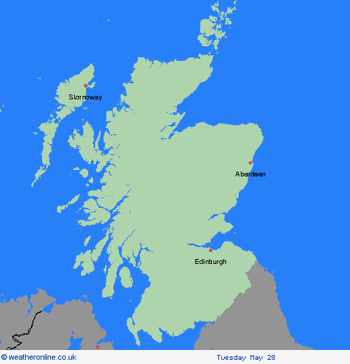
Region: Strathclyde
Slow-moving showers and thunderstorms are expected to develop during Sunday afternoon and evening. Rainfall accumulations will vary significantly across the warning area but where showers become organised, there is the possibility of 20 mm of rain falling in an hour. Following on from recent wet weather this will bring a risk of some flooding. What should I do? Consider if your location is at risk of flash flooding. If so, consider preparing a flood plan and an emergency flood kit. Give yourself the best chance of avoiding delays by checking road conditions if driving, or bus and train timetables, amending your travel plans if necessary. People cope better with power cuts when they have prepared for them in advance. It’s easy to do; consider gathering torches and batteries, a mobile phone power pack and other essential items. If you find yourself outside and hear thunder, protect yourself by finding a safe enclosed shelter(such as a car). Do not shelter under or near trees, or other structures which may be struck by lightning. If you are on an elevated area move to lower ground. Be prepared for weather warnings to change quickly: when a weather warning is issued, the Met Office recommends staying up to date with the weather forecast in your area.
Chief ForecasterHeavy showers and possible thunderstorms on Sunday afternoon and evening may lead to some flooding and transport disruption.
The public is advised to take extra care, further information and advice can be found here: http://www.metoffice.gov.uk/weather/uk/links.html


26.05.2024