Weather Warnings Archive: Monday 23 Sep 2024 21:00 BST - UK


00:00-06:00

06:00-12:00

12:00-18:00

18:00-24:00


Severe Weather Warnings: Rain
issued by the Metoffice at
20:00, 23.09.2024
valid from
00:00, 23.09.2024
until
23:59, 23.09.2024
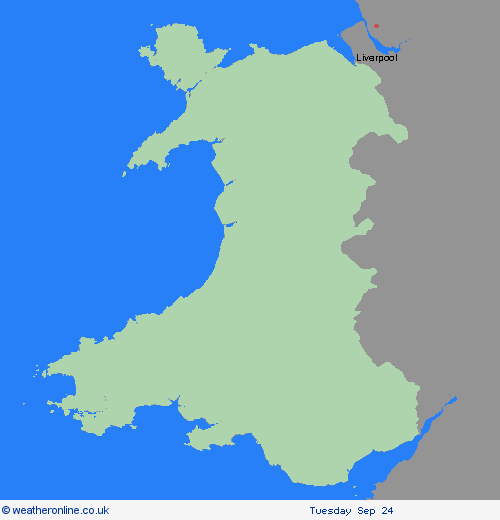
Region: Wales
Areas of heavy rain are expected to affect many parts of England and southeast Wales during Monday. There is still some uncertainty regarding which areas will be affected by the heaviest rain, but at this stage parts of the south Midlands, southern and southwest England look most likely to see the greatest accumulations - see separate amber warning. However, anywhere within the warning area could have impactful rainfall through the course of Monday. There is potential that 30-50 mm could develop in any part of the warning area, much of which could fall in six hours or less. Some locations could see 80-100 mm over the course of 12 to 24 hours. What should I do? Check if your property could be at risk of flooding. If so, consider preparing a flood plan and an emergency flood kit. Give yourself the best chance of avoiding delays by checking road conditions if driving, or bus and train timetables, amending your travel plans if necessary. People cope better with power cuts when they have prepared for them in advance. It’s easy to do; consider gathering torches and batteries, a mobile phone power pack and other essential items. Be prepared for weather warnings to change quickly: when a weather warning is issued, the Met Office recommends staying up to date with the weather forecast in your area.
Chief ForecasterAreas of heavy rain may result in some disruption on Monday.
The public is advised to take extra care, further information and advice can be found here: http://www.metoffice.gov.uk/weather/uk/links.html

